

4.5 ha solar PV plant
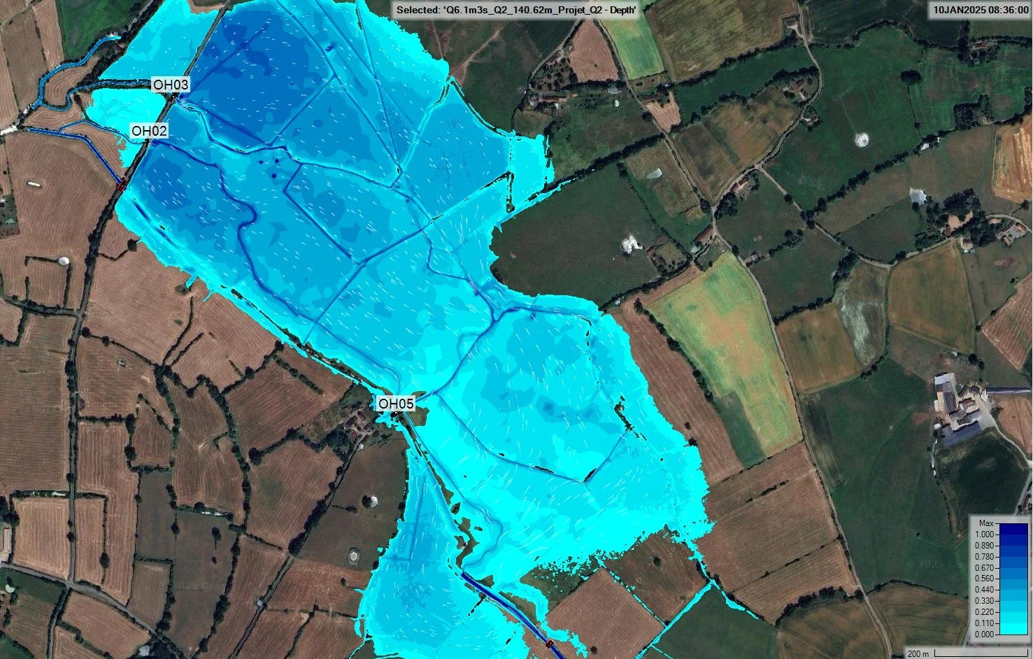
Hazard, erosion and detailed drainage design.
View the projectEngineering consultancy · Hydrology and hydraulics
Flood modelling, catchment hydrology, drainage and erosion. We assess how water behaves on your site and deliver results you can use directly to design, lay out and justify your choices.
Direct contact: +33 7 44 90 54 90contact@hydrotechingenierie.fr
Countries since 2024
Services
Six fields of work, from the catchment to the structure. Each study starts from your data and leads to well-argued design choices.
Catchment delineation, time of concentration, HEC-HMS rainfall-runoff models and design flows for the selected return periods.
HEC-RAS 1D, 2D and coupled models. Mapping of flood extents, water depths, velocities and hazard.
Sizing of ditches, networks, crossing structures and detention basins. SWMM modelling when the network requires it.
Identification of flow paths and ponding areas. Protection measures for access roads, slopes and foundations.
Hydrological and hydraulic studies for solar PV plants, wind farms and battery energy storage sites (BESS).
Bridges, pipe and box culverts, linear infrastructure: hydraulic capacity, upstream backwater, hydraulic transparency of embankments.
Solar PV, wind, BESS
We support developers and engineering firms, from feasibility to detailed design, to qualify the risk and adapt the layout.
Since 2024: 15 plants studied in France, Italy, Germany, Chile, Sweden, Bulgaria and Senegal.
Deliverables
Each deliverable states the data used, the assumptions made and the limits of the model.
Catchments, areas, time of concentration, rainfall assumptions and peak flows.
Flood extents, water depths, velocities and hazard for each scenario studied.
HEC-RAS and HEC-HMS models provided on request, for your future updates.
Results in QGIS, shapefile, GeoPackage or KMZ format, ready to add to your drawings.
Ditches, crossing structures, detention basins and erosion protection.
Method, results, layout recommendations and points to watch for the next project stages.
Projects
Solar PV plants, wind farms and rivers: a selection of studies carried out since 2024, with their results.

Hazard, erosion and detailed drainage design.
View the project
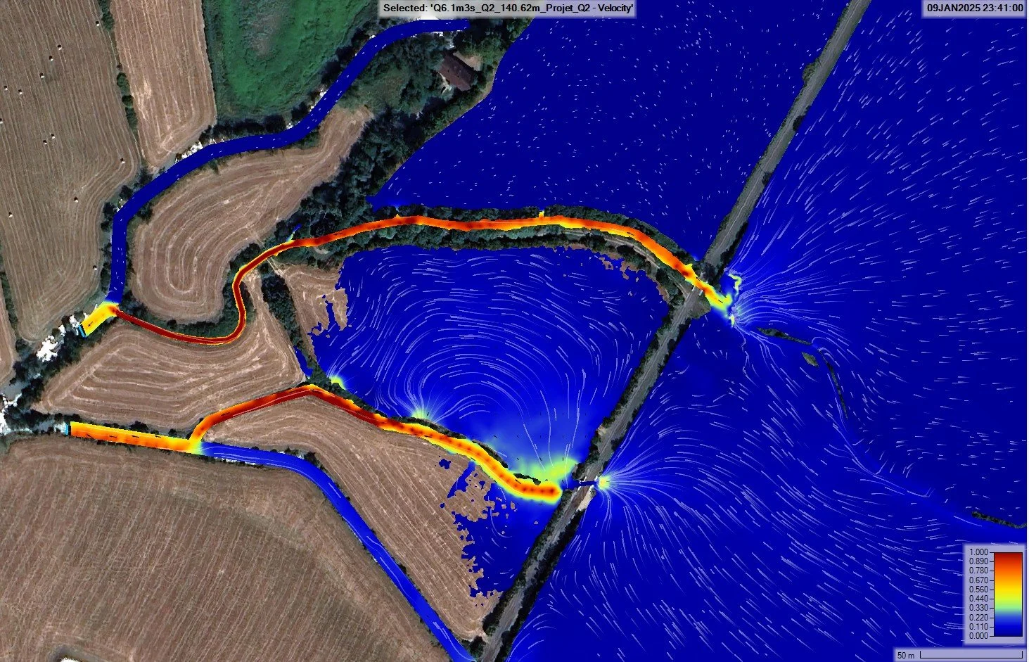
Nine 2D models, return periods up to 500 years.
View the project
Drainage in less than 48 h on one of the farms, against a 72 h criterion.
View the projectMethod
Assignments are carried out remotely or on site. You keep a single point of contact from the first discussion to the delivery of the results.
DTM or LiDAR, topographic surveys, rainfall, soils, land use and project constraints.
Hydrology, then 1D or 2D hydraulics. Checks on terrain, structures and model stability.
Critical review of results, risk areas, comparison of options and sizing.
Report, maps and files. Discussions with your teams to integrate the results into the project.
Training
Courses built around your needs and the actual level of the participants, online or in person, in a short or spread-out format.
See the training coursesModel building, structures, floodplain, critical review of results.
Meshing, complex flows, structures, numerical stability.
Rainfall-runoff models, calibration, coupling with HEC-RAS.
Localised flows: meshing, boundary conditions, interpretation.
Technical articles
Problems met on real models, and how to solve them. Articles in French.

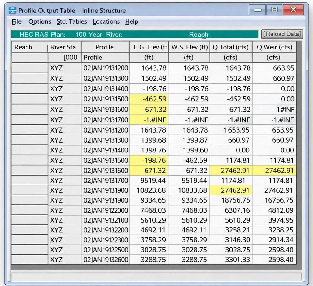
LiDAR artefacts under bridge decks and DTM correction before simulation.
Read the article (in French)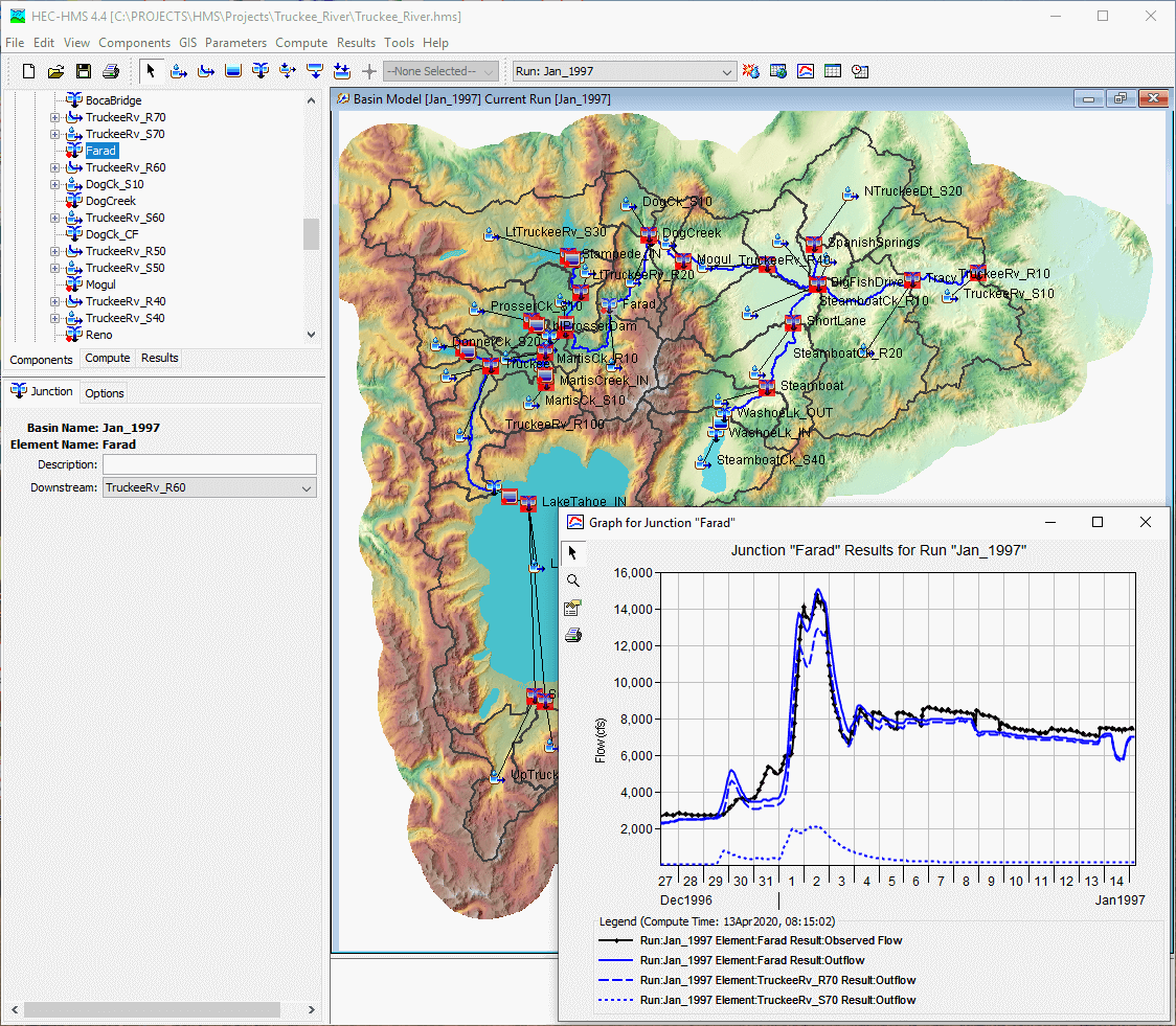
Send us the site location, the nature of the project and your deadline. We will come back to you with a proposal.
Or by phone: +33 7 44 90 54 90