

Home / Services
Hydrological and hydraulic studies
For each field: the questions we address, the methods we use and what you receive.
Hydrological studies
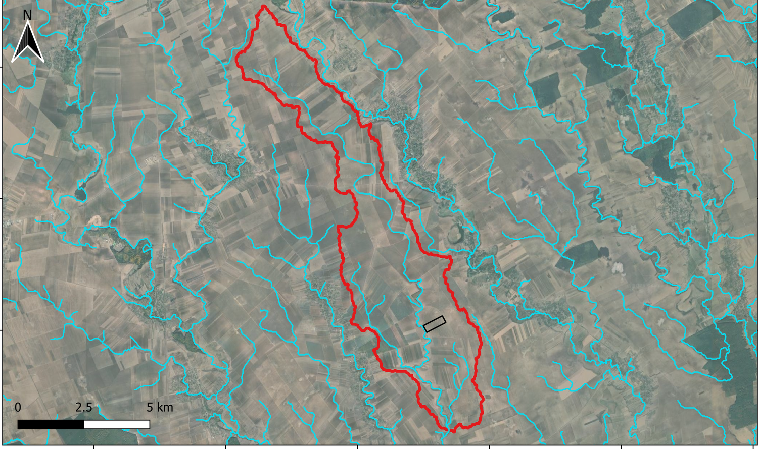
Estimating inflows from the catchment is the starting point of any hydraulic study. The approach is adapted to the size of the catchment and the data available.
Questions
- Which design flow should be used for the site or structure?
- What area actually drains towards the project?
- How does the project change flows downstream?
Methods and tools
- Catchment delineation from the DTM in QGIS
- Time of concentration and runoff coefficients
- HEC-HMS rainfall-runoff models, calibrated when measurements exist
- Design rainfall following local references: Kiefer and Crupédix in France, VAPI in Italy, KOSTRA-DWD in Germany
Deliverables
- Catchment maps: boundaries, areas, outlets
- Hydrology report with assumptions and peak flows
- Hydrographs for hydraulic modelling
Flood modelling
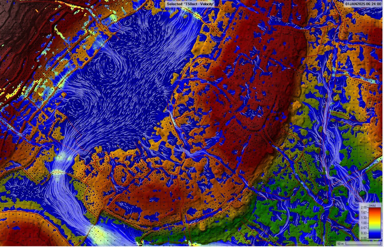
HEC-RAS 1D and 2D models describe how floods and runoff spread across the site and its surroundings, in existing and design conditions.
Questions
- Is the site flood-prone, and over what extent?
- What depths and velocities for the design floods?
- What is the impact of the project upstream and downstream?
Methods and tools
- Preparation and correction of the DTM or LiDAR: bridges, embankments, structures
- 2D mesh refined along ditches, levees and roads
- 1D, 2D or coupled models depending on the stakes
- Comparison of existing and design conditions
- Numerical stability checks and critical review of results
Deliverables
- Maps of water depths, velocities and hazard
- Flood extents for each return period
- Long profiles and result tables
- Model files on request
Drainage and stormwater
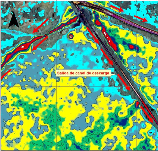
Collecting, conveying and discharging stormwater without worsening the existing situation, on site or downstream.
Questions
- How should water be drained from the platform and access roads?
- Is compensation for new impervious surfaces needed?
- Where and how should water be discharged to the natural environment?
Methods and tools
- Drainage layout consistent with the topography
- Sizing of ditches, swales, pipe and box culverts
- Detention basins and flow control structures
- SWMM network modelling where needed
Deliverables
- Outline drainage plan
- Design calculation notes
- Construction and maintenance recommendations
Runoff and erosion
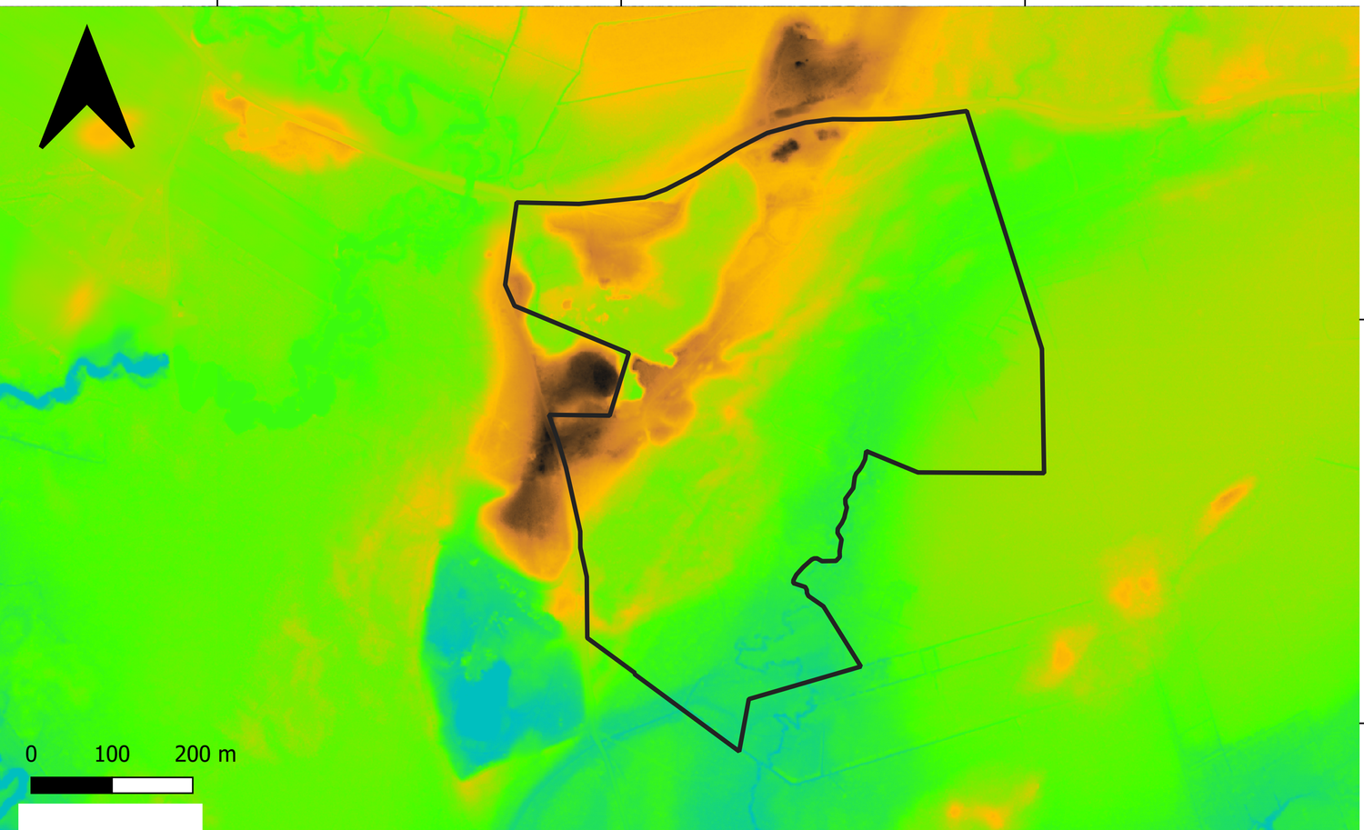
On large sites, sheet flow and erosion cause many problems after construction. We anticipate them from the design stage.
Questions
- Where does runoff concentrate?
- Which areas are at risk of erosion?
- How can access roads, slopes and foundations be protected?
Methods and tools
- Analysis of slopes, thalwegs and ridge lines
- 2D rain-on-grid modelling
- Assessment of velocities and ponding areas
- Choice of protection: grassing, riprap, water bars, flow spreaders
Deliverables
- Map of runoff paths and sensitive areas
- Erosion control plan
- Recommendations for the construction phase
Renewable energy: solar PV, wind, BESS
We support developers and engineering firms on hydrology and hydraulics, from feasibility to detailed design.
Questions
- Is the site compatible with the flood risk?
- What minimum height for modules and equipment?
- How should access roads, fences and drainage be organised?
Methods and tools
- Preliminary site analysis: topography, soils, river network
- Flood and runoff modelling, including rain-on-grid
- Ponding and recession time after the event
- Checks on sensitive equipment against the highest water levels
- Design of drainage and protection
Deliverables
- Site hydrology and hydraulics report
- Hazard maps and areas to avoid
- Layout recommendations
- Drainage sizing
Hydraulic structures and infrastructure
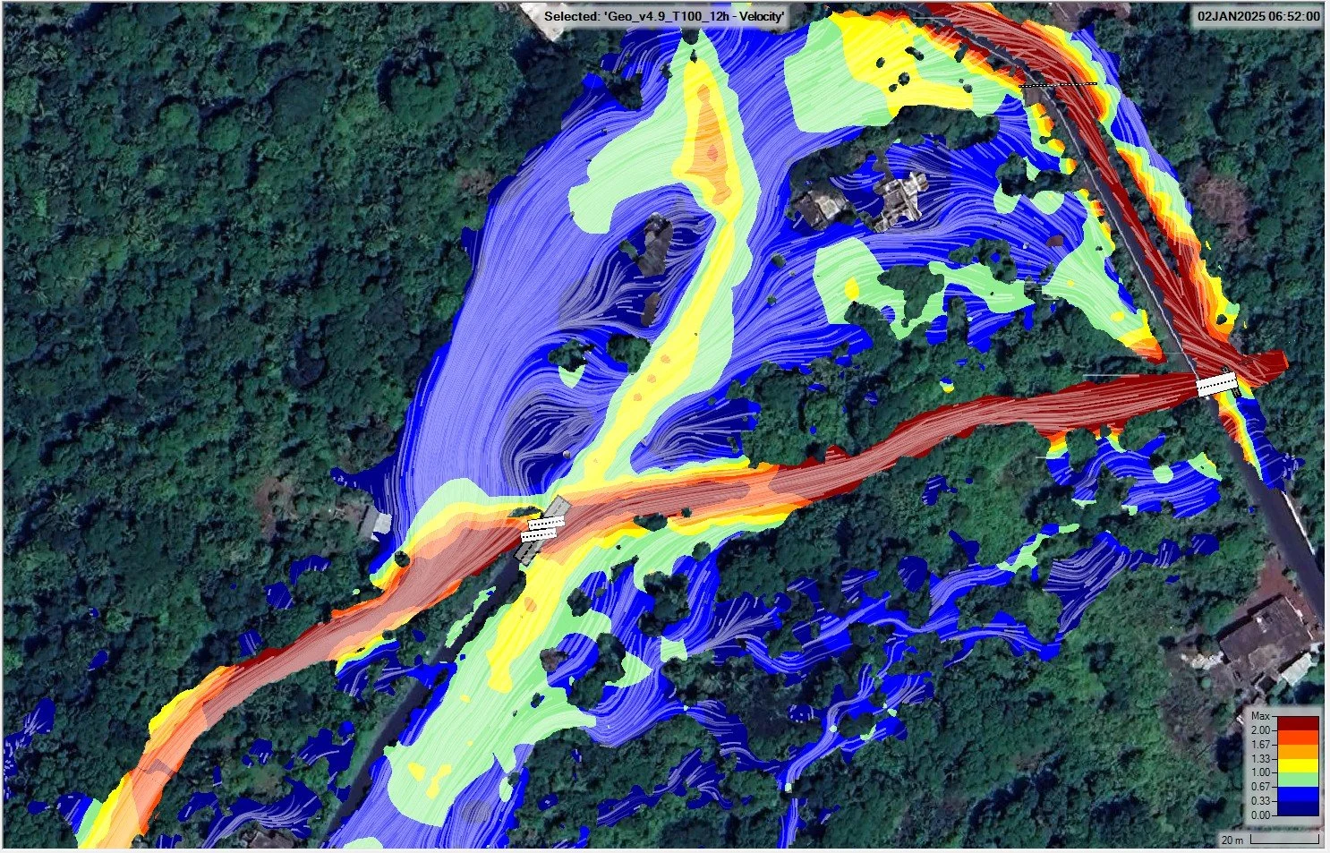
Bridges, pipe and box culverts often control upstream water levels. Representing them in the model requires particular care.
Questions
- Is the structure sufficient for the design flood?
- How much backwater does it create upstream?
- Does the road or rail embankment obstruct the flow?
Methods and tools
- Modelling of structures in HEC-RAS 1D and 2D
- Terrain correction under bridge decks
- Analysis of velocities and scour risk
- Study of sizing options
Deliverables
- Hydraulic design note
- Comparison of options
- Maps before and after works
Not sure which study you need?
Describe the project and the question at hand. We will recommend the right approach and the level of detail required.